Total population
3,065,639 2023 Digital Census
Jhang District, situated along the riverine corridors of central Punjab, is a major agricultural territory within the division. The district is characterized by highly seasonal agro-industrial layouts and a severe structural imbalance between its central municipal towns and underserved rural farming tehsils (3,065,639 residents, 2023 Digital Census). This page summarises district statistics, services, elected representation, and priority development challenges.
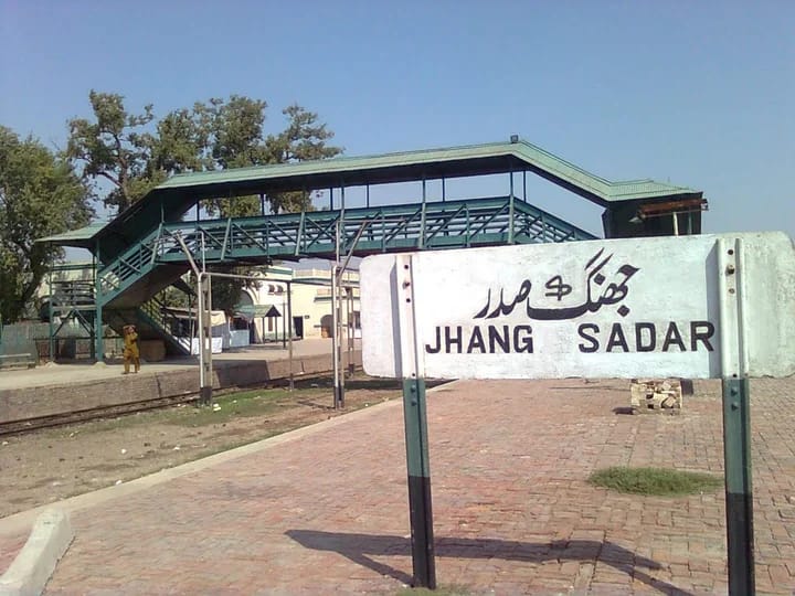
3,065,639 2023 Digital Census
6,166 km²
4 tehsils (Jhang, Shorkot, Ahmadpur Sial, Athara Hazari) · 91 union councils · 722 villages
| Indicator | Value |
|---|---|
| Total population (2023 Digital Census) | 3,065,639 |
| Tehsils | 4 |
| Tehsil names | Jhang, Shorkot, Ahmadpur Sial, Athara Hazari |
| Union councils | 91 |
| Villages | 722 |
| Total area | 6,166 km² |
| Public schools | 1,473 |
| Public colleges | 11 |
| Police stations | 14 |
| Type | Count |
|---|---|
| Public schools | 1,473 |
| Public colleges | 11 |
| Facility type | Count |
|---|---|
| TB clinics | 01 |
| DHQ Hospital Jhang (275 beds + 40-bed trauma centre) | 01 |
| City Hospital Jhang (20-bed RHC level) | 01 |
| THQ hospitals (Shorkot, Ahmadpur Sial, 18-Hazari) | 03 |
| Rural health centres (RHC) | 11 |
| Basic health units (BHU) | 58 |
| Rural dispensaries | 51 |
| MCH centres | 07 |
| Facility type | Count |
|---|---|
| DHQ | 01 |
| THQ | 03 |
| RHC | 11 |
| BHU | 58 |
| Total (listed types) | 73 |
| Circle | Stations |
|---|---|
| City circle (Kotwali, Saddar Jhang, City Jhang, Satellite Town) | 04 |
| Saddar circle (Mochiwala, Qadir Pur, Masan, Athara Hazari, Kot Shakir) | 05 |
| Shorkot circle (Shorkot City, Shorkot Cantt., Waryam) | 03 |
| Ahmadpur Sial circle (Ahmadpur Sial, Garh Maharaja) | 02 |
| Total | 14 |
| Measure | Notes |
|---|---|
| Civil courts (by tehsil) | Not specified in available district source data. |
Based on listed MNAs and MPAs (NA-108–110, PP-125–131). NA: IND 3; PP: IND 7.
Literacy, schooling, poverty, employment, infant mortality, and bed capacity from division district profile data.
| Member | Constituency | Name (Party) |
|---|---|---|
|
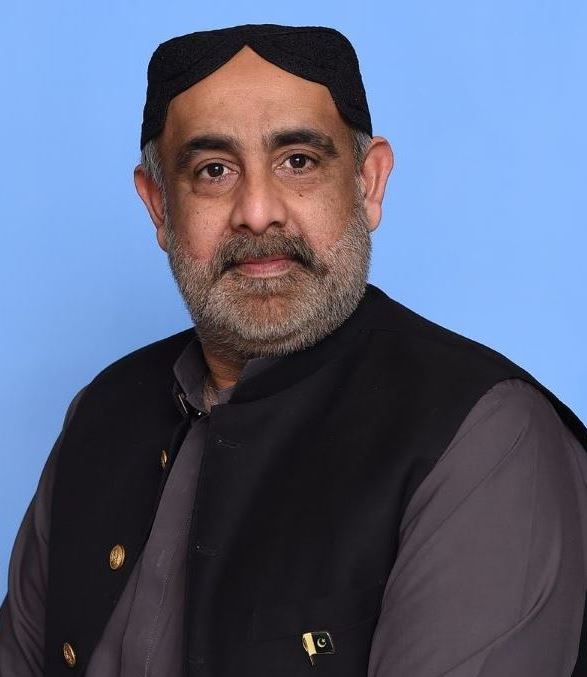
NA-108 Jhang-I | Muhammad Mahboob Sultan (Independent) |

|
NA-109 Jhang-II | Sheikh Waqas Akram (Independent) |
|
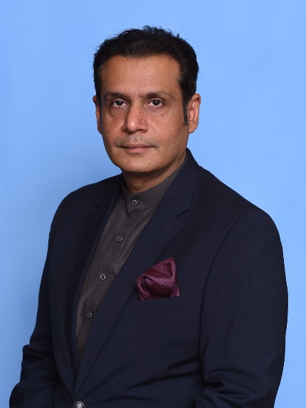
NA-110 Jhang-III | Muhammad Ameer Sultan (Independent) |
| Member | Constituency | Name (Party) |
|---|---|---|
|
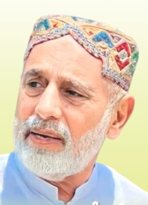
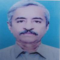
PP-125 Jhang-I | Ghulam Ahmad Khan Gadi (Independent) |
|
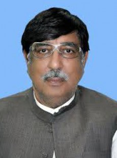
PP-126 Jhang-II | Mehar Muhammad Nawaz (Independent) |
|
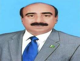
PP-127 Jhang-III | Sheikh Muhammad Akram (Independent) |
|
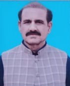
PP-128 Jhang-IV | Ghazanfar Abbas Shah (Independent) |
|
PP-129 Jhang-V | Mian Muhammad Asif Kathia (Independent) |
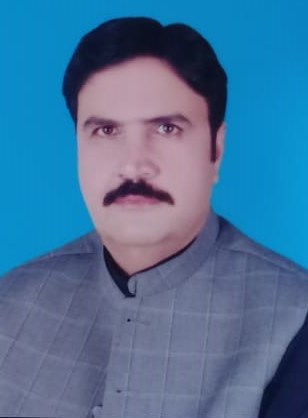
|
PP-130 Jhang-VI | Shahbaz Ahmad (Independent) |
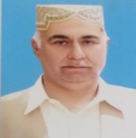
|
PP-131 Jhang-VII | Shahbaz Ahmad (Independent) |
Jhang experiences severe healthcare capacity strains, operating under a structural capacity layout of just 0.31 beds per 1,000 citizens. With zero teaching hospitals in the district, all complex trauma, specialized surgical, and emergency maternal care loads are forced onto long travel lines toward Faisalabad, contributing to an elevated rural infant mortality rate of 64 deaths per 1,000 live births.
Driven by a severe baseline literacy rate deficit of 37.1%, a sharp primary-to-middle school structural layout gap causes an out-of-school child rate of over 24.5% across secondary tiers in rural farming union councils, heavily impacting female students who drop out due to distance and infrastructure limitations.
The district faces an economic landscape where 39.8% of the population lives below the poverty line. Due to a critical shortage of corporate, technical, or modern industrial paths, a general unemployment rate of 8.9% persists, forcing a 14.5% child labor pattern into seasonal agricultural harvesting and informal cottage industries.
Safe drinking water access has experienced severe structural failure, leaving a legacy setup where 45% of regional public filtration assets are entirely non-functional. Pesticide runoff and shallow aquifer contamination leave the majority of rural households vulnerable to high microbial and chemical toxin concentrations.
Localized environments face severe seasonal stress due to unchecked municipal waste practices, where toxic agricultural runoff and village drainage layouts suffer from open effluent contamination, while recent agricultural water tests confirm that 16.2% of sub-soil irrigation aquifers have become entirely unfit due to unchecked chemical seepage.
Advanced structural layout cracking and severe surface erosion affect an average of 40% of secondary rural farm-to-market links, driven by inadequate infrastructure layouts that fail completely under the heavy axel-load weights of seasonal sugarcane and wheat transport trucks.